
- Home
- Age Level
- Brand
- Control System
- Item Length
- Material
- Aluminum (34)
- Brass (204)
- Canvas (8)
- Cast Iron (11)
- Die Cast (21)
- Die Cast Metal (21)
- Die-cast (32)
- Die-cast Metal (12)
- Diecast (151)
- Diecast, Plastic (61)
- Metal (25)
- Paper (14)
- Plastic (470)
- Plastic & Metal (14)
- Plastic And Metal (9)
- Plastic, Diecast (9)
- Plastic, Metal (10)
- Pressed Steel (10)
- Tin (29)
- Tinplate (9)
- Other (2128)
- Scale
1916 CENTRAL PARK WEST MANHATTAN NEW YORK CITY NY BROMLEY Land & Street Map
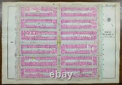
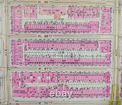
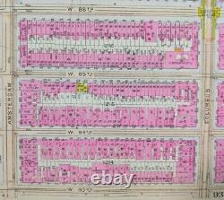
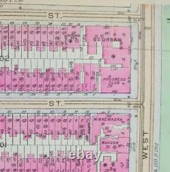
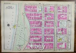


"An Authentic Original Map Not A Reproduction". Offered for your consideration is a beautiful antique original hand-colored map showing the St. Urban apartments and historical buildings bordering Central Park to the west. Bounded by Central Park West, Amsterdam avenue to the west, W89th street to the north and W83rd street to the south.
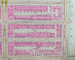
Bromley, also known as the Land Atlas. On the reverse is a map of a nearby neighborhood as shown in the last picture. We sell antique and vintage original maps, no reproductions.

